
Orthophotos
PROJECTS
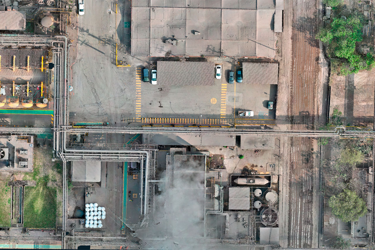
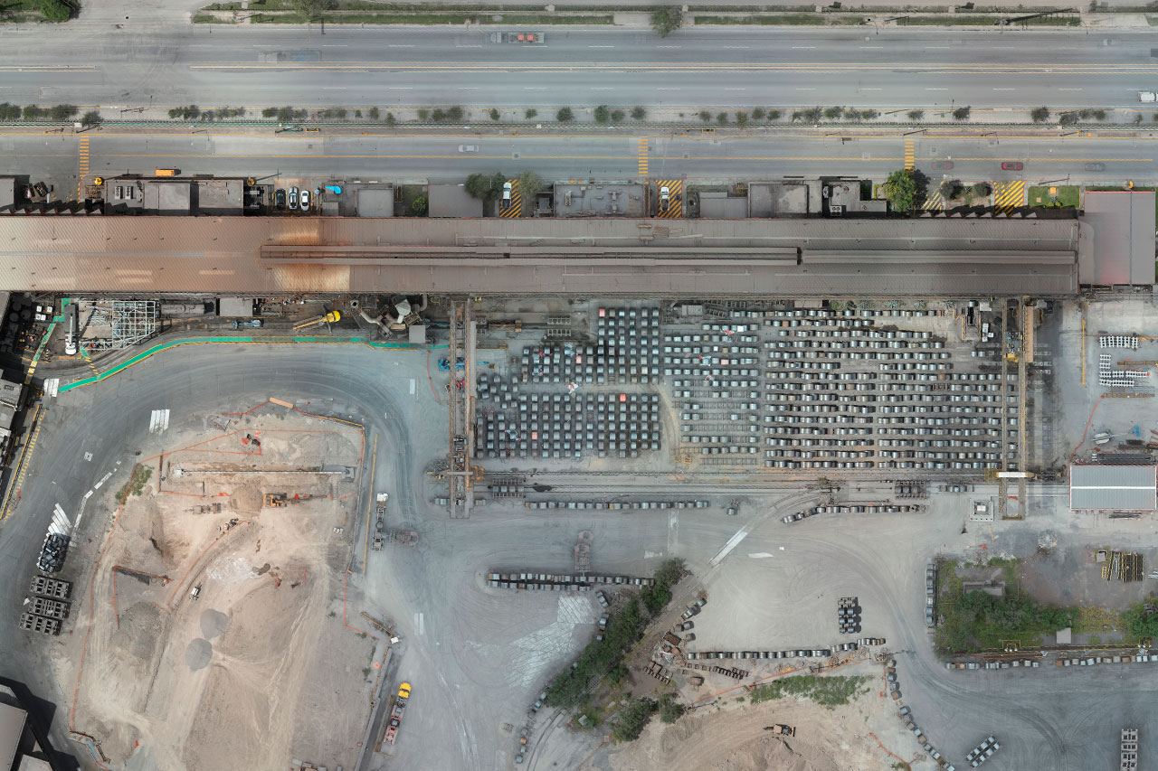
We have experience in drone photogrammetry which allows us to provide orthophotos service that transcends the limits of conventional visual representation.
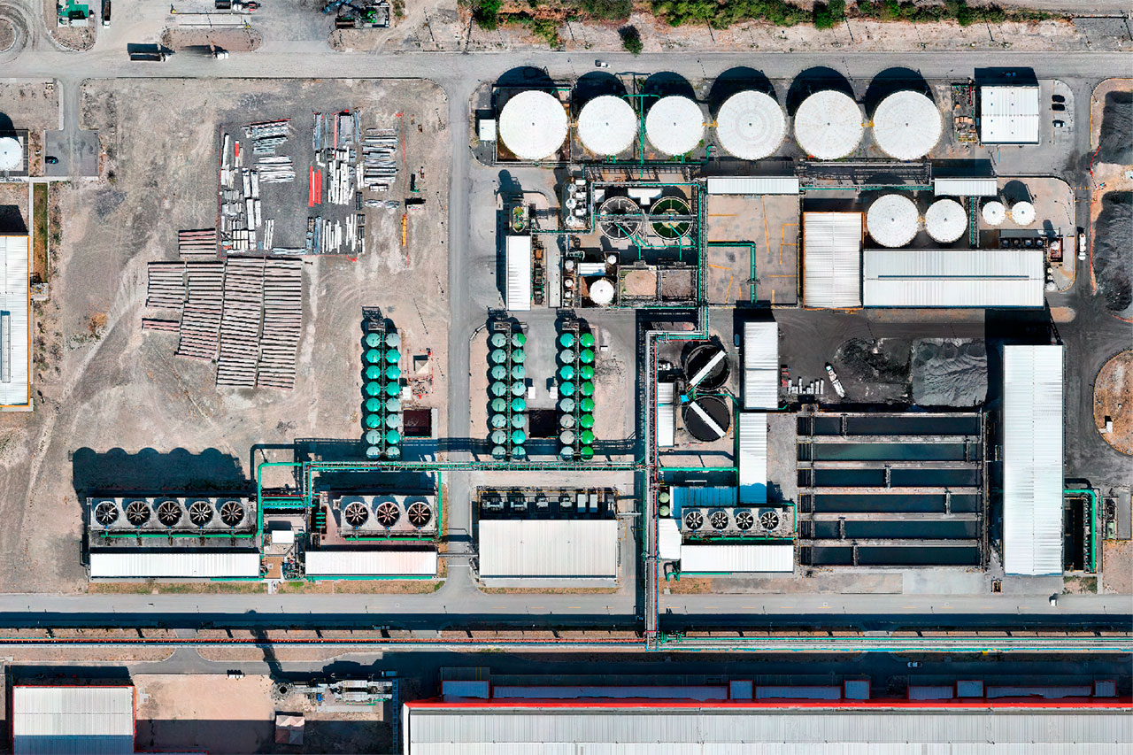
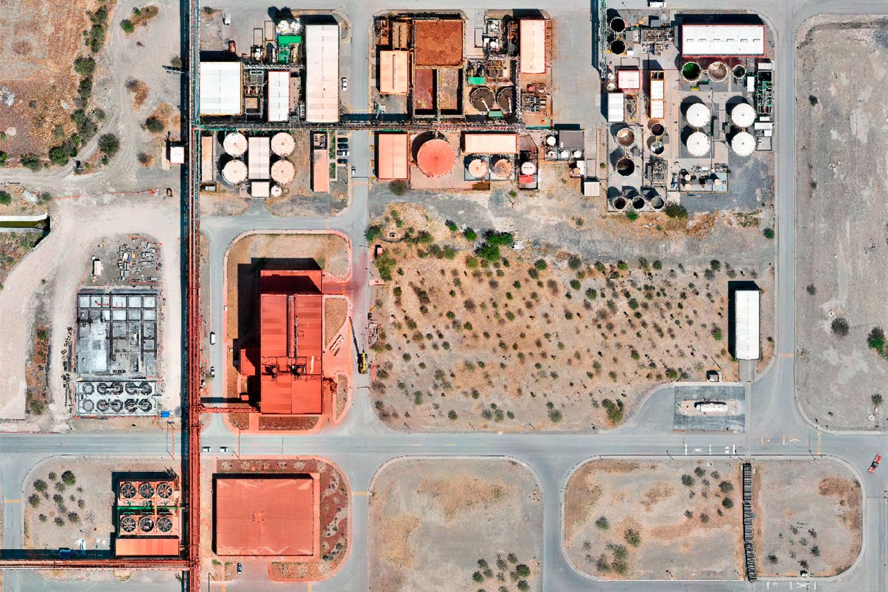
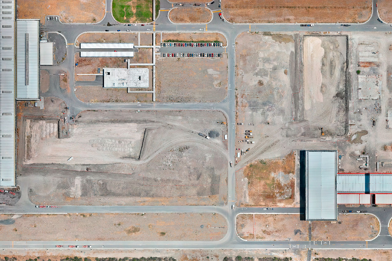
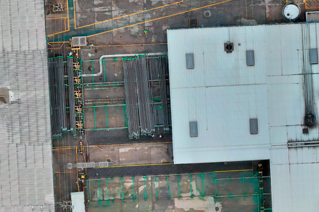
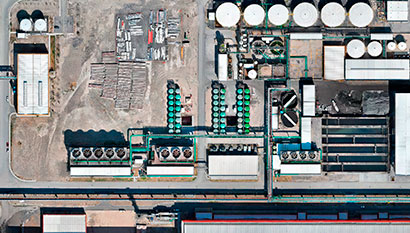
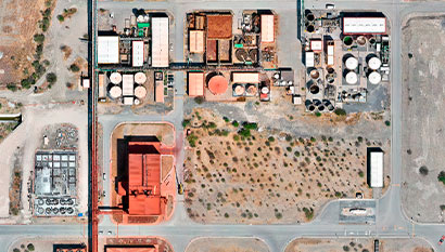
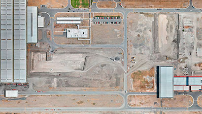
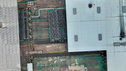
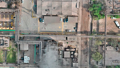
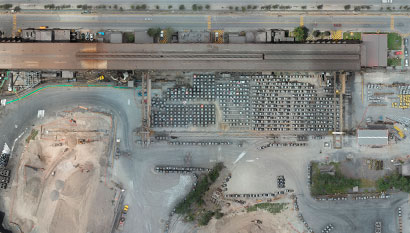
Orthophotos are rectified aerial or satellite images that provide a detailed and accurate view of the earth’s surface. With a focus on accuracy and quality, we are committed to providing you with a clear and detailed view of your environment.
Benefits:
- We use advanced technology to correct the distortions inherent in aerial imagery. This ensures that every detail in the orthophoto is accurately represented in terms of scale and location.
- Orthophotos provide a detailed view of terrain, buildings and structures. Orthophotos are valuable in creating detailed and accurate maps and a visual basis for analysis and decision making in various fields.
- They can be used to compare how an area has changed over time. This is useful in projects to track and monitor the evolution of a site.

Planta 1
Clash Detection, Digital Plant, Industrial Applications, Truviews
Planta 1
Clash Detection, Digital Plant, Industrial Applications, Truviews
Planta 1
Clash Detection, Digital Plant, Industrial Applications, Truviews
Planta 1
Clash Detection, Digital Plant, Industrial Applications, Truviews
Planta 1
Clash Detection, Digital Plant, Industrial Applications, Truviews
Planta 1
Clash Detection, Digital Plant, Industrial Applications, Truviews

