Photogrammetry
PROJECTS
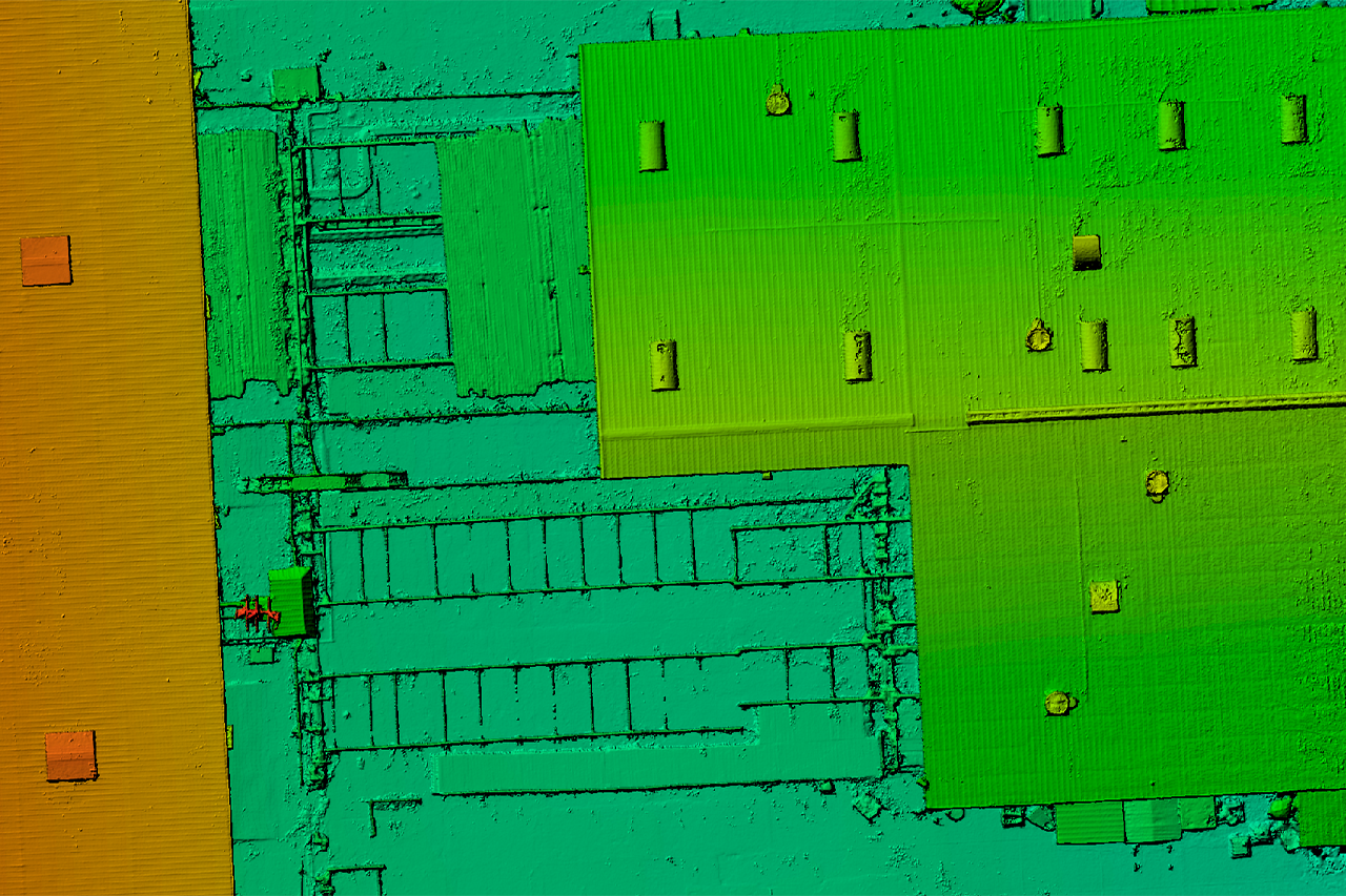
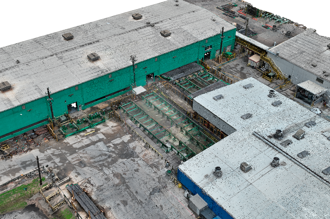
We perform photogrammetry with drones to capture aerial images
and convert them into maps and 3D models.
and convert them into maps and 3D models.
Drone photogrammetry is a process that takes advantage of unmanned aircraft technology equipped with cameras to capture aerial images and transform them into maps and models three-dimensional.
This innovative technique offers a cost-effective and efficient alternative to conventional methods. conventional surveys, providing data of exceptional precision and detail for a wide variety of applications.
Some of its benefits are:
- Photographs from variable altitudes, allowing complete and detailed coverage of the area of interest.
- Captured images are processed using advanced photogrammetry algorithms to Accurately calculate the coordinates and dimensions of objects on the ground.
- Greater precision and detail compared to traditional surveying methods.
- Faster and more efficient data collection.
- Access to hard-to-reach places.
- Increased security in highly dangerous areas.
- Creation of digital models in record time.


Planta 1
Clash Detection, Digital Plant, Industrial Applications, Truviews

Planta 1
Clash Detection, Digital Plant, Industrial Applications, Truviews

