
Realviews
PROJECTS
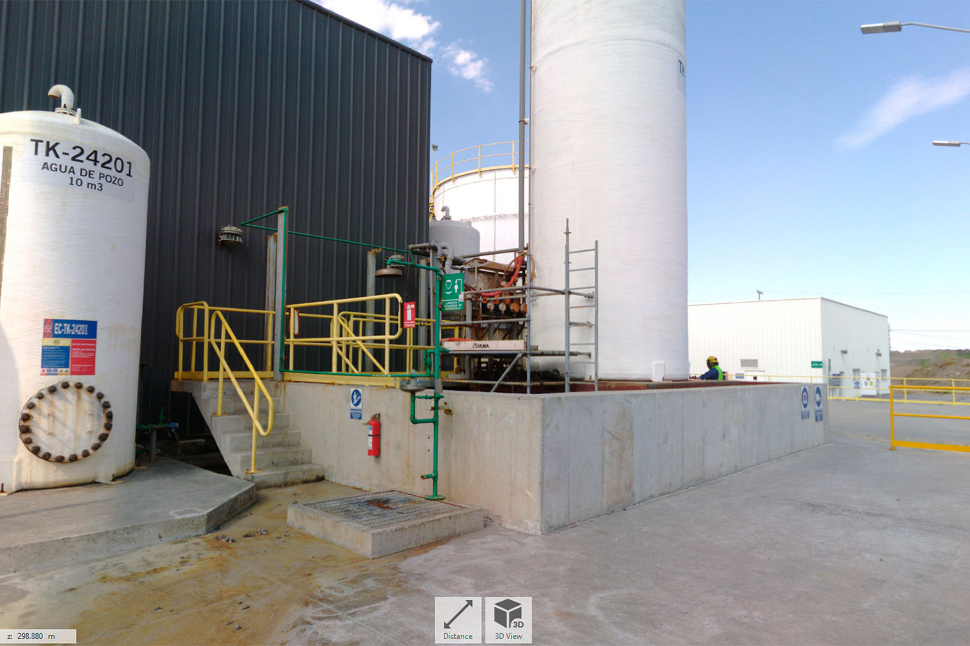
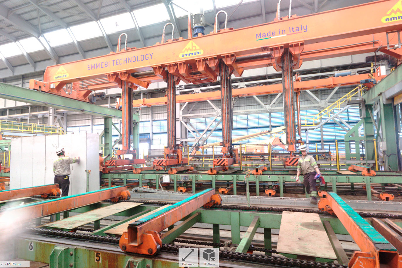
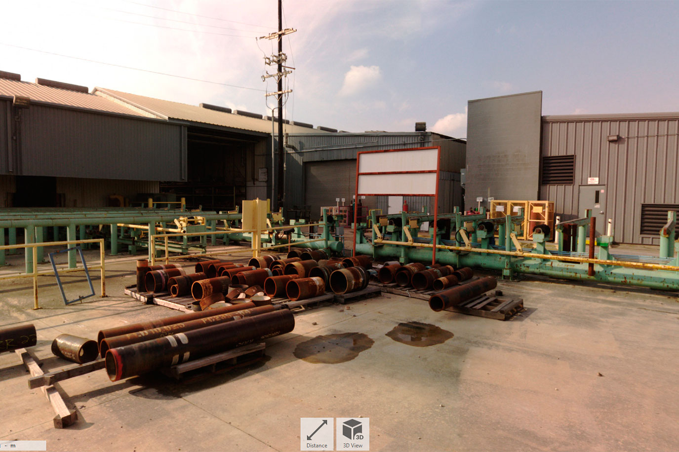
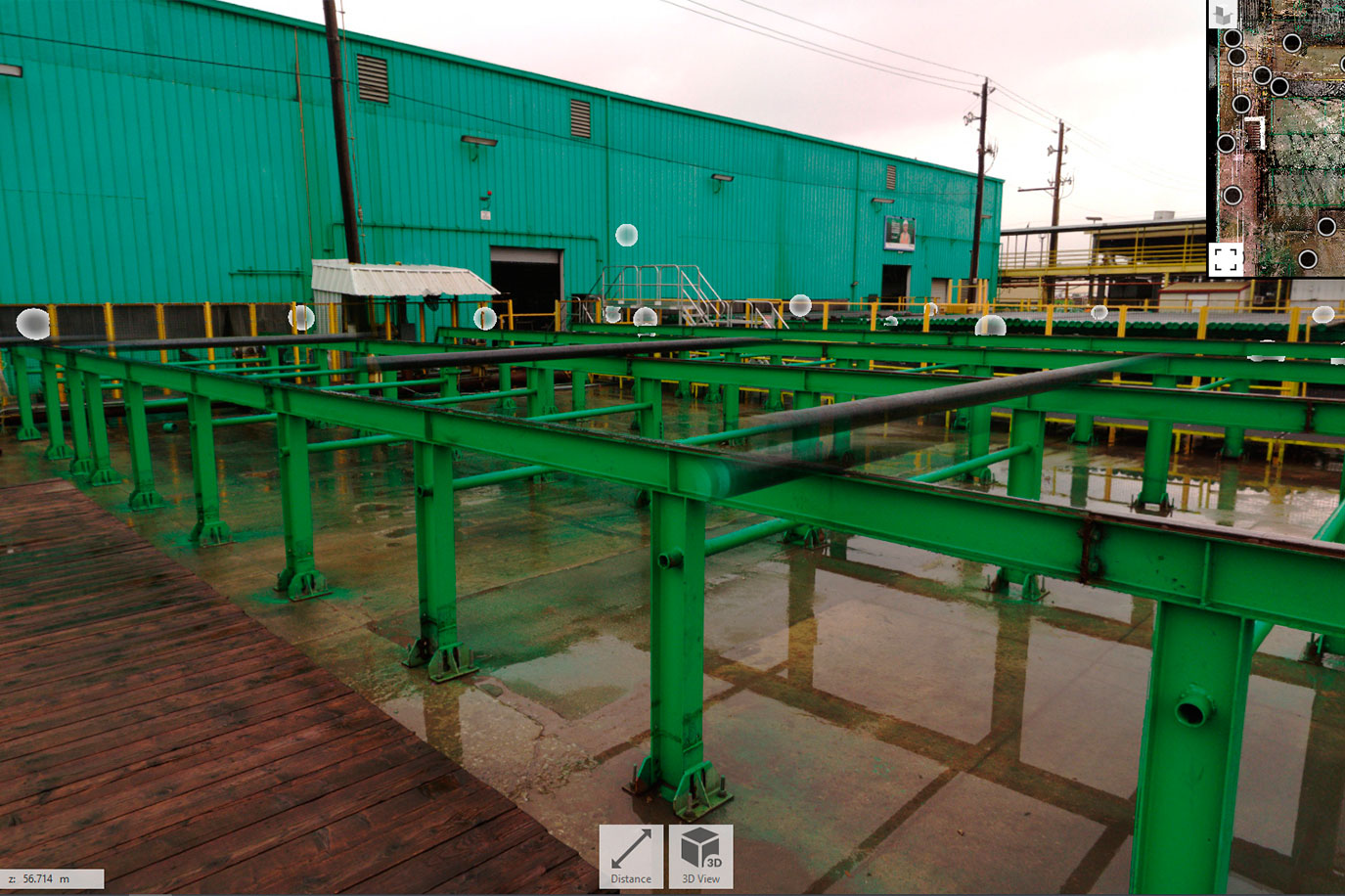
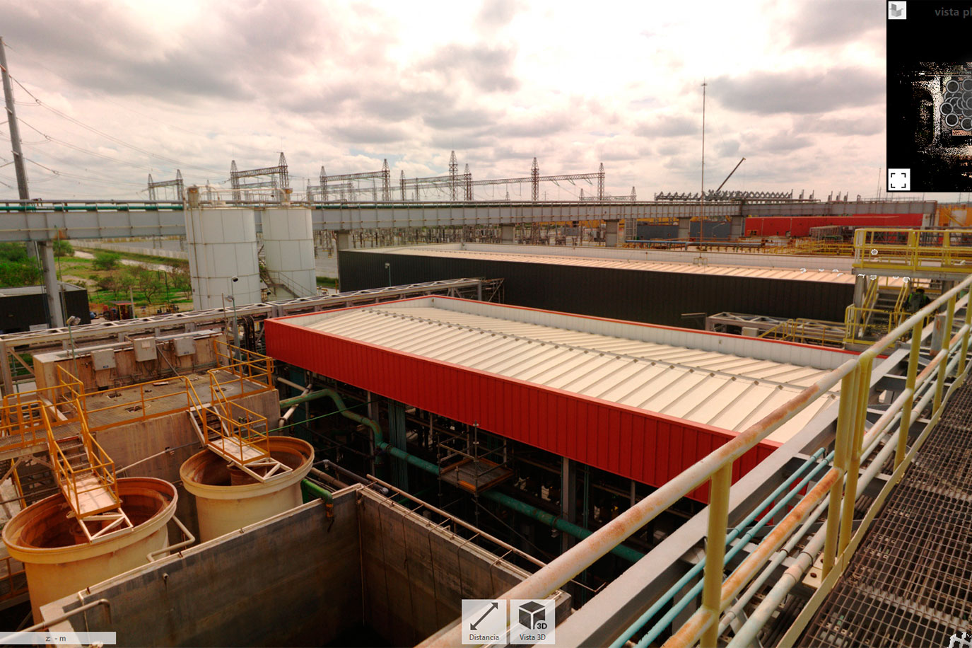
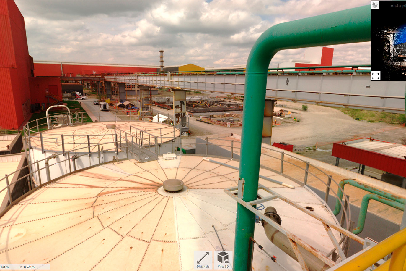
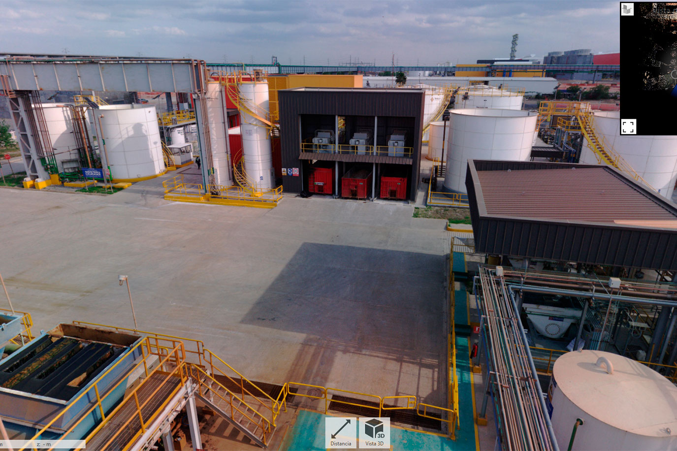
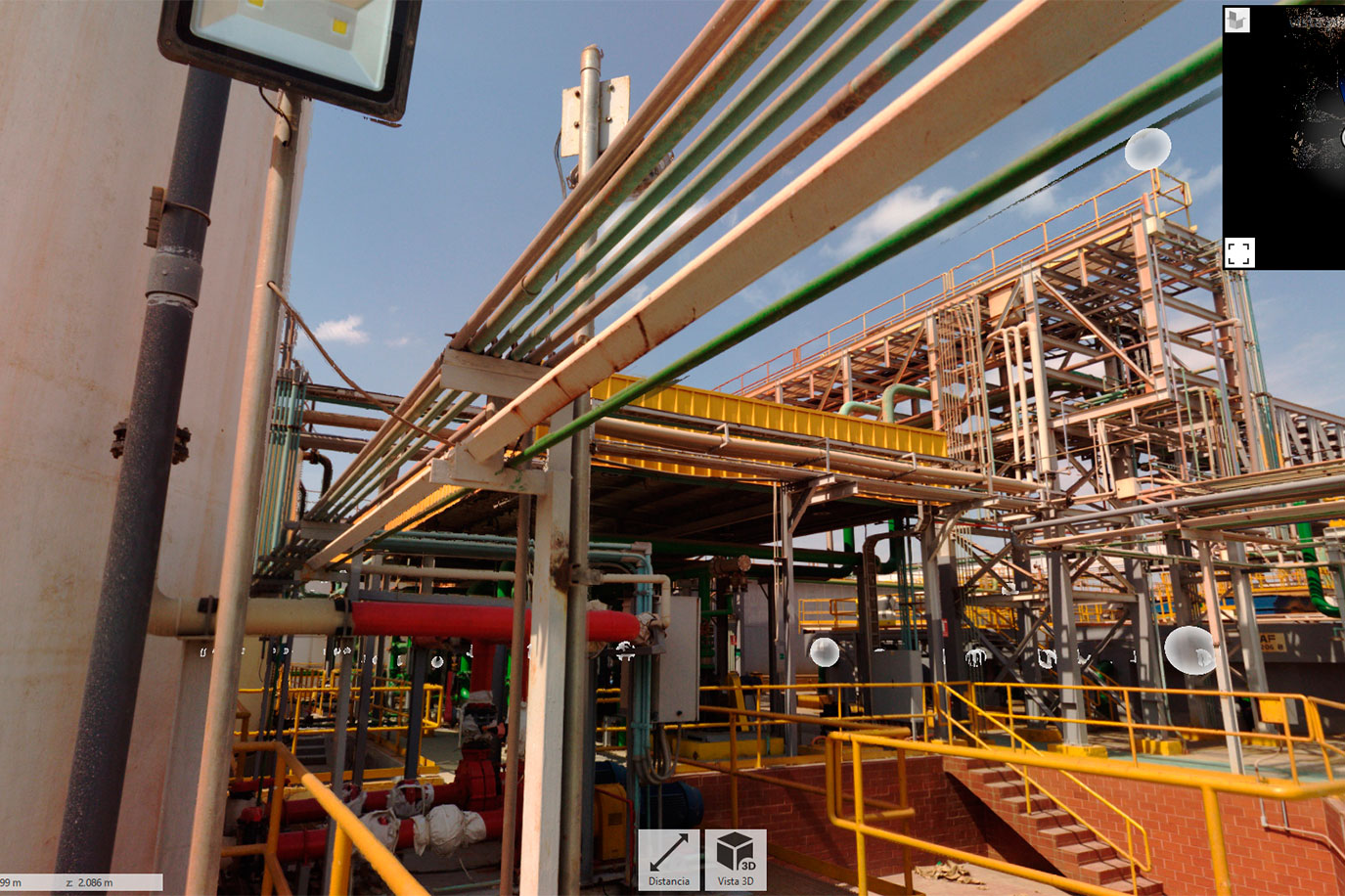
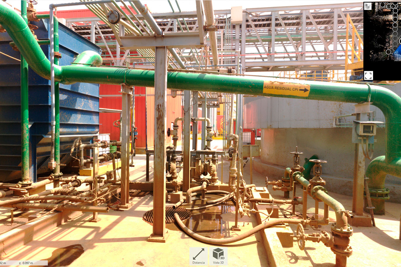
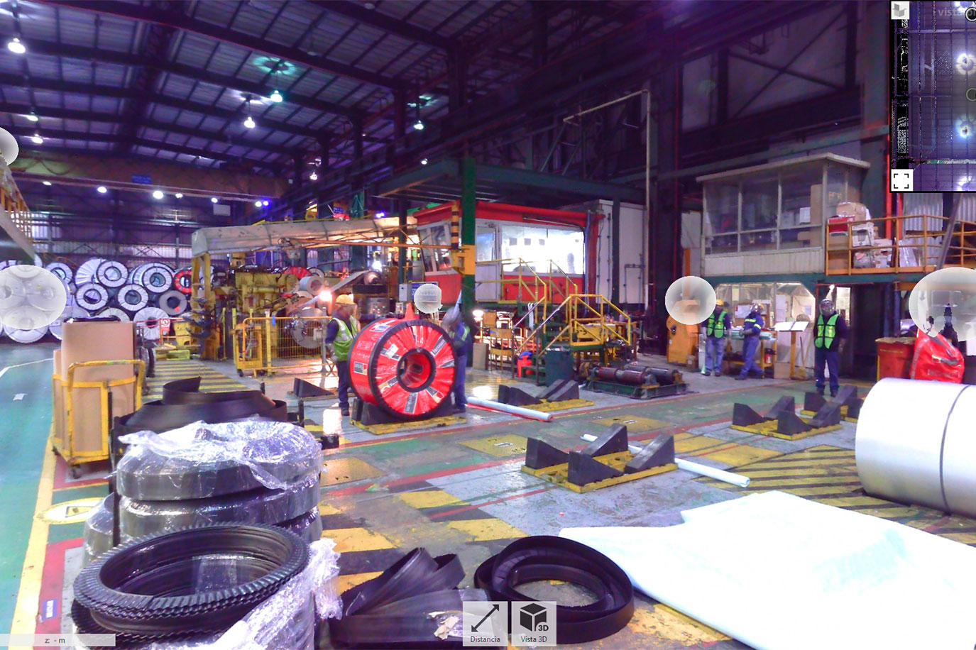
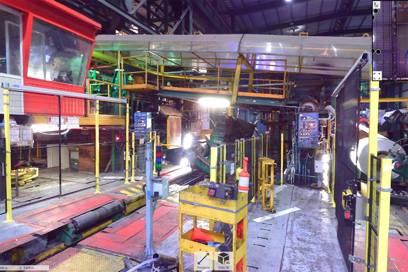
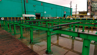
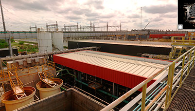
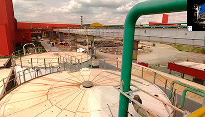
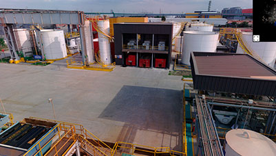
This unique integration allows users to take accurate measurements, mark areas of interest and share rich perspectives. We provide a powerful visual tool that drives informed decision making.
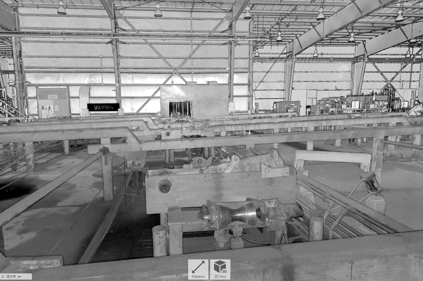
Realviews allows even inexperienced users to take advantage of 3D laser scanning technology and also limits unnecessary site visits, plus it can be generated in intensity colors (black and white) or in true color scale if scanning with the RGB option. This is an essential tool and aids in the conversion from CAD to the cloud.

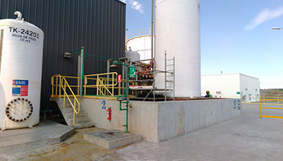
Planta 1
Clash Detection, Digital Plant, Industrial Applications, Truviews
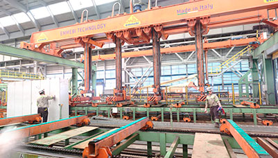
Planta 1
Clash Detection, Digital Plant, Industrial Applications, Truviews
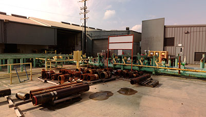
Planta 1
Clash Detection, Digital Plant, Industrial Applications, Truviews
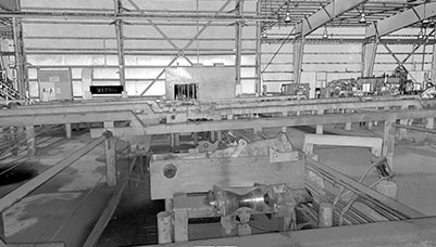
Planta 1
Clash Detection, Digital Plant, Industrial Applications, Truviews
Planta 1
Clash Detection, Digital Plant, Industrial Applications, Truviews
Planta 1
Clash Detection, Digital Plant, Industrial Applications, Truviews
Planta 1
Clash Detection, Digital Plant, Industrial Applications, Truviews
Planta 1
Clash Detection, Digital Plant, Industrial Applications, Truviews
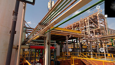
Planta 1
Clash Detection, Digital Plant, Industrial Applications, Truviews
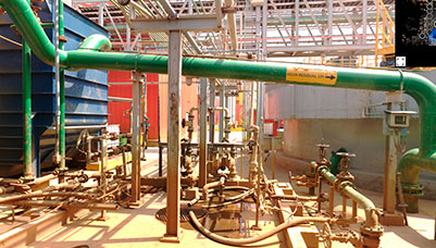
Planta 1
Clash Detection, Digital Plant, Industrial Applications, Truviews
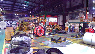
Planta 1
Clash Detection, Digital Plant, Industrial Applications, Truviews
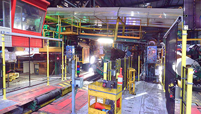
Planta 1
Clash Detection, Digital Plant, Industrial Applications, Truviews

